Exploring New Zealand From The Left

nekit

Member
After a year in Aus, and some 49,000km+, I drive like a native on the left. We have seen the mussles on occacsion, but they can be tough to find on most easily accessible beaches. Both of us are native flatlanders (midwest) so our seafood pallet has never really developed. We will probably get some fried mussles soon, and maybe some Paua.

We now have 4 new tires and our pockets are $1,300nzd lighter. The rear slider door roller mechanism is worn at the pivot, mostly due to our doors weight. With a 5 day lead time, and costing over $260nzd, I am hoping a friend will let me machine some bushings on his hobby lathe. Hopefully tomorrow we will head over to Able Tasman park, and do some of the lesser known areas.
What brand/style of tire did you replace them with?
Thanks
 

desertdog

Member
Been enjoying your journey! Thank you for sharing. Question, do you feel the 2" lift and larger tires have been a good improvements? Have they gotten you in or out of situations that would have been a problem without the upgrade? Thanks! Jud
 

Midwestdrifter

Engineer In Residence
Been enjoying your journey! Thank you for sharing. Question, do you feel the 2" lift and larger tires have been a good improvements? Have they gotten you in or out of situations that would have been a problem without the upgrade? Thanks! Jud
Yes. There are plenty of places I would never have attempted without extra clearance and wider tires.
 

Midwestdrifter

Engineer In Residence
West Coast, First Visit

The West Coast of NZ is sparsely populated and remote, no more so than the area around Fox and Franz Joseph glaciers.  Due to the recent damage caused the recent ex-cyclone, the Fox Glacier access road was blocked. 

Here is the coastal highway.  Large sections were badly eroded by the storm surge.


Notice the piles of debris on the side of the road?  These logs and limbs were washed down rivers, mostly from logging operations.  The storm washed them over the road, causing numerous blockages.


There was no way to access the Fox Glacier directly, so we drove out a ways for a viewpoint nearer to the coast.


That is some serious ice.


Another ex-cyclone was expected to make landfall late that evening.  We should have expected some closures.   We decided to visit a nearby lake which boasts a great reflection of the glacier and alps when conditions are calm.  Of course, it was closed.  Incredibly frustrating was that they did not post the closure at the track head, but put it a few hundred meters down the track!  Obviously they didn’t want to interfere with the café at the track head's business, so we wasted time parking and walking…


We decided to drive on to Franz Joseph, as our options at Fox were limited.  Of course, the Franz Josef access road was closed due to the approaching ex-cyclone, so we gave up and went to camp at a park at the Franz Josef village.  There is a private wildlife center here.  The main draw is that they breed brown kiwi (rowi) here, and have a nocturnal enclosure where you can see and hear young kiwi.  We gave it a visit as they had closed the road north due to tree fall and landslide risks. Sadly, there was no way to get a good photo of the kiwi in near complete darkness.  But they are a curious animal.  They have nostrils at the tip of their touch-sensitive beak, with the 2nd best sense of smell among all birds.  Their feathers are closer to fur, and they have whisker feathers on their heads.  They can hunt for their food in complete darkness, which includes various invertebrates, insects, etc.  Kiwis have been found in the wild who are nearly completely blind, but have no problem thriving.  They have essentially no wings, and lay an enormous egg, which is up to 25% of their body weight!
They also had a few tuatara living there, and we got a few good photos.


The following day we continued north to Greymouth. 
 

Midwestdrifter

Engineer In Residence
Croesus Track

In the mountains north of Greymouth (west of Blackball) is the Croesus (pronounced Cree-sus) track.  Originally built as a pack track to access various gold mining operations, it will soon be declared a Great Walk.  After hearing good things about it, we decided to get a visit in before the rest of the world discovered it! 

The western half of the track was closed halfway due to a recent landslide, so we decided to do a 2-3-day round trip from the Smoke-Ho parking lot in the mountains above Blackball.


From Blackball to Smoke-Ho the road is a single winding gravel road.  Originally park of the Croesus pack track it was widened in the 1940s for coal prospecting.  No substantial coal was found, but plenty of low quality coal seams can be seen at the start of the track.


Well over a hundred years old, most of this excellently-benched track still survives. This is despite the meters of rain which fall every year.


Having long since washed and rotted away, the original bridges and fords have been replaced with cable suspension bridges.


Views back into the towering central ranges appear on occasion.


We stopped for lunch at one of several long-abandoned hotel sites.


Mostly worked out by the early 20th century, the mine works were reopened during the great depression under a government work scheme.  One of the depression era huts still stands, as well as the derelict Garden Gully battery. 


Powered by high-pressure water from the mountains via this pelton water wheel, this beast received ore from the mountaintop via an aerial cableway. 


The side track to Garden Gully involved lots of water crossings.  Thankfully most were not very deep.


As we continued upward, the track began switchbacking up the mountainside. The level of effort and skill that went into carving this track into the steep hill is amazing.  Dry rock walls made of hundred-pound-plus stones still stand,  stream crossings made from interlocking key stones stacked 6+ feet deep.  Box drains and pits to duct water under the track, and drainage channels run along the track.  All of this done by hand with basic hand tools.  Not a single cut stone or ounce of motor to be found.  Most of it still usable despite nearly a century of neglect.


Can you see the parallel interlocking stones?  Even decades of water and torrential floods have failed to dislodge them.


Eventually we cleared the treeline and arrived at Ces Clarke hut.  Built in the days before the Department of Conservation, this hut is unique in construction and location. 


Ces Clark hut on the left, the hut in the bottom right is a gold miner's stopover hut from the early 1900s.


Check out that view.


The view from the toilet was pretty good too.


A cheeky weka managed to get briefly stuck under the hut before figuring out it could just walk out the way it came…
 

Midwestdrifter

Engineer In Residence
The next day we hiked up to Croesus Knob.  Along the way we found the remains of the aerial cableway towers, crumpled after a century in the elements.   Down the hill, the remains of the Croesus mine were visible. 


With persistent low clouds blocking our views, we decided to risk a walk along the Croesus track to the Moonlight Route junction, and then along the Moonlight Tops route for a while. 


See the track climbing up the other side of this dip (left side)?  Parts of the track were being remade by a track crew with a digging machine.  The existing tramping track didn’t meet the Great Walks standard, I guess.


This is the shell of a carnivorous land snail.  They roam about at night eating insects and worms, as well as any carrion.


After stopping for lunch, we decided to turn back, as the weather showed no sign of clearing.  We heard a loud kee-aha, kee-aha in the distance, and were unsure of its source.  A few minutes later a pair of Kea flew overhead, with one landing nearby for a short while.


The only species of alpine parrot, the kea were hunted nearly to extinction.  Believed to kill sheep, the government put a bounty on them until the 1960s.  It wasn’t until 1986 that public pressure forced farmers to relinquish their right to shoot kea on their property. Today, only about 5,000 pairs are believed to exist in the wild. They are a very intelligent bird, having to survive and find food in the unforgiving alpine ranges.  They are known for eating the eggs and chicks of other birds when available, and for even eating carrion, and cutting into sheep carcasses for their fat (check out that beak).  Despite this omnivorous nature, they disperse over half of the alpine plant species seeds.


No photos of them in flight this time, but the underside of their wings is a burnt orange and gold.

We returned to Ces Clark hut for our packs, and started back down to the van. Of course, despite the weather forecast, the sky cleared up halfway down!
 

desertdog

Member
Would be interesting to hear what changes you have made to your sprinter since arriving in Australia. Besides the two rear tires and I believe the addition of a gray water holding tank set up?
 

Midwestdrifter

Engineer In Residence
Would be interesting to hear what changes you have made to your sprinter since arriving in Australia. Besides the two rear tires and I believe the addition of a gray water holding tank set up?
We are currently in NZ, but the question is still a good one.

We have made minimal changes to the van overall. Plenty of minor repairs and maintenance though.

Off the top of my head we have made the following changes since leaving the USA.


For NZ self containment rules:
25mm dump valve and camlock quick connect for our grey water tank, and 3 meter grey dump hose. Dometic portable toilet (it lives in the back).

In Oz:

Storage pockets added to the bench seat, under overhead cabinets, and other random places.

Shelf lips added to retain containers.

Toaster oven brought from USA for various cooking duties.


Repairs and maintenance:

Oil, air, and fuel filters replaced at various times.

Paint touch ups, especially on the front.

windshield replacement

4 tires (in NZ recently)

Several leak fixes (secondary fuel filter, water heater bypass valve clamps)

Rear axle oil changed, and pan seal replaced

Right rear inner seal ring resealed

Fridge electrical connectors replaced due to bad crimps

All intake hoses replaced with spares due to several small leaks.

Short rubber fuel lines on HP pump replaced due to small leak

Espar Easystart timer replaced due to internal fault (dirty bastard)

Rubber or felt added in numerous places to stop rattles or squeaks.

Sliding door rollers lubed or adjusted, middle roller replaced

A few screws have been tightened, or had loctite added (around three?). These were all in the conversion, not the van chassis.

Rotated tires a few times to even out wear.

Replaced front camber shims and re-set toe due to slowly sagging front spring (it seems to have leveled out now).

Solar panel mount on one side re-bonded due to useless factory paint.

Replaced front brake rotors and pads, and rear pads.

Slightly tightened front wheel bearings.

Replaced injector #1 seal and bolt due to compression leak "black death"

One outer tie rod joint and one inner joint have some play, and will need replaced eventually. Both front wheel bearings have minor play, but will also get replaced.

Water filters replaced a few times.
 

Midwestdrifter

Engineer In Residence
Ghostly Adventures

By Jen.

Since about Thanksgiving, we have been working hard to catch up on posts so that instead of being 6-8 weeks off, we would only be about 1-2 weeks off. We have finally reached that point. So, look forward to NOT being inundated with back-to-back long posts!


We passed the remains of an old bathhouse leaving the Croesus Track. I was entertained by the picture.

After the Croesus Track, I was ready for a break. So we stayed in Greymouth for a day and worked on taxes. Then we had a decision to make: should we go to Nelson via the West Coast/Kahurangi NP or via Molesworth Station. Checking the weather, we decided on the latter. And, in typical fashion, we decided to make some scenic stops on the way. The first of which was Waiuta, a mining ghost town south of Reefton in Victoria Forest Park.


Not much left of the town; most of it was disassembled and transported to another location when the mine closed following the collapse of the Blackwater Shaft.


This town was the site of the Blackwater Mines with 2 shafts, including the deepest shaft in NZ at 879.5m (2885 ft).


Prohibition Shaft and Mill were located on top of a hill overlooking the valley and town.


One of the houses remained in place for visitors to see.


I loved the stove!

After that the foray into the ghost town, we hit the road again, heading towards Molesworth. Shortly after getting back on pavement, the van started vibrating/making noise. I told Jonathan that something was wrong with the van and he needed to pull over. He hadn’t noticed anything, but he trusted me and did so immediately. As I went to make sure there was nothing loose in the cabin to make the noise, Jonathan did a survey of the outside. Sure enough, my guess of the back right tire was confirmed!


The tire delaminated and went out of round, but still held air.


But, Jonathan was able to change out the tire even quicker than I was able to whip out an email, and we were back on the road again. However, since Molesworth is known as a rough track and a remote destination, we did not want to go there without a spare. Instead, we revised our plans to head directly to Nelson, where we could get our tires replaced (it was definitely time). It was a good thing we did, as about 70 km out from Nelson, I noticed that familiar vibration again and told Jonathan we had a problem, probably the back left this time. Upon pulling over, we discovered the same thing had happened to the other side, less than 200 km later that day!


We now had an issue, though; we didn’t have a spare. I checked my phone, which verified what I already knew: no reception. I checked the map and discovered we were but a kilometer or two from a small settlement, so Jonathan limped the vehicle there. We saw a house with laundry hanging, so we thought we would give them a try. As we approached the homestead and called, an intimidating dog of rotweiler/mastif mix came barking and growling at us. We stopped and the dog simply snuffled at us and then looked liked it wanted petted. Rather than risk the ire of the dog, we decided to call out to the owner instead. Fortunately, the owner was out pulling in the laundry and heard us. We asked if we could use her landline, and she didn’t even ask us any question (must happen a lot) before letting us in to do so. We called our contacts in Nelson and explained the situation, and after some debate decided the best option was to try and get one of our roadside-assistance programs to help us out. We decided to try AA first, as AAA would be the go-to answer in the States, and we had a reciprocal agreement with them. After forever on the phone, they said they would call us back and let us know if they could find anyone that was capable of towing us into Nelson, as we had a large (over 3500kg) vehicle. We waited nearly an hour for the call back and learned more about our host and the settlement. Glenhope was built up as a major rail station for the west coast railway that was a stimulus project during the Depression. Sadly, when the Depression ended, they stopped worked on the railway as well. We could see the station building across the field behind her house. Her house itself was the old first-aid building, and she was in the process of renovating it. She said she had found some entertaining medicines under the floors.


The old railway station.


After an hour, we finally received a call back from AA. They had found someone and the cost would $974, and AA would cover $100 of that. I said “Thanks, but no thanks; we will figure something else out.” Earlier, our host had said we could catch a ride with her into work the next morning, so we took her up on that. She had to be there super early, so we we were up by 5am to be ready with the spare by 530am for the ride in. She kindly dropped us off at our friends’ place in Nelson, and they graciously drove us to the tyre place when they opened. Our friends even supplied an old tyre to put on our rim so that we could drive the van to Nelson, while the new tyres were being ordered. Then drove us back to the van so we could execute that plan. I must say that the people in New Zealand have been extremely friendly and helpful. Every time we go into someone’s house here, even when we are imposing on them unexpectedly, they offer us the use of the toilet, shower, and washing machine; always much appreciated when living in a van.


Putting on the loaner spare.

While we waited, Jonathan did some maintenance on the van, fixing a vacuum leak, a transmission leak, and a fuel leak. The next morning, our tyres had arrived, and we could safely drive the van again!


A chocolate kiwi on sale for Easter!
 

Midwestdrifter

Engineer In Residence
Oparara Basin

Located at the northern end of the west-coast road, the Oparara Basin is situated on the edge of a modest logging operation.  One that thankfully ended by the mid 1960s.  The basin is crisscrossed with limestone rock which has eroded to form various caves, arches, and other formations.  This erosion is accelerated by the very high rainfall, which leaches tannic acid from the decomposing leaf litter, staining the rivers a dark brown.


The first stop was an enormous limestone arch.  One of the largest in this part of the world, it is 200 meters long, and over 36 meters tall.


At the outflow, another smaller arch has formed.  Long ago the river was flowing above this hole, and swirling waters cut through splitting the still underground arch in two.


Farther downstream, another arch is accessed via a steep walk into a dark cave.


At the western edge of this park a large cave complex with over 50 entrances exists.  Closed to those without a permit, it contains fossils of several unique animals.  Bones of giant eagles with 4 meter wingspans have been found there.  Their favorite prey, the flightless moa have been found in abundance as well.  Extinct for over 200 years, the eagles cut up their prey (often over 100lbs!) and brought them to their nests. 

We had to settle for a couple of publicly-accessible caves farther east.

These caves have a rare cave-dwelling spider.  With long legs, and a very long slow life, they are right at home in the cold, damp dark.


Laying large egg sacks which hang from the roof.


Their favorite food is the cave weta, which is similar to a cricket.


A much larger cave nearby was inundated by sediment when the glacier nearby melted about 15,000 years ago.   Forcing the water to run near the ceiling, unusual formations were carved into the rock.  Once the sediment washed out, a 20 meter tall cave with unusual decoration was left.


Centuries of flood and dry cycles have created large mud “pavers” on the floor.


Midwestdrifter

Engineer In Residence
The Able Tasman Coast Track

By Jen.

We had some friends who had planned to come visit us in New Zealand while we were there. It was mostly an excuse to do a trip they had always wanted to do, but it was great to see them again. We decided to join them on their Abel Tasman Coast Track walk for 4 days and 3 nights. This track is the most popular Great Walk in NZ. Because of some mixups with their campervan rental, they arrived a day later than planned in Nelson, but they were still able to make it on time to do the walk. As we were doing last-minute packing before the walk, Jonathan measured everyone’s backpacks. Jonathan and I had the lightest; with mine a full 10 pounds lighter than everyone else! Fortunately, because of availability, the first 2 days were only about 4-6 km each, so they could take time to lighten their packs (much of the weight was the extra liquids they brought along).


4 Days of Food with 1 day of spares and snacks.

They had arranged a lovely water taxi ride to the far end of the track, after which we would walk back to the beginning, a total of 38 km. Sadly, after 10 minutes of being on the water taxi, we realized that I had forgotten my SD card for my camera and would be stuck taking pictures only with my phone for the next 4 days.


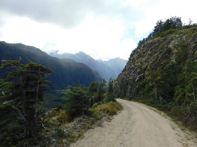
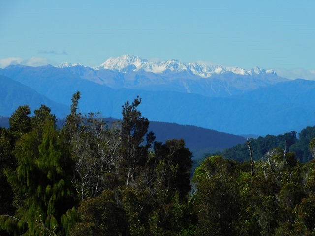
Start of the walk when we are bright-eyed and bushy-tailed.

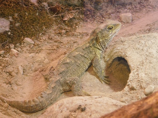
At the end of Day 1 when I was walking back from brushing my teeth, I thought I heard a weka in bushes, but then I saw something jump into the tree. I was really confused as wekas generally prefer the ground. Upon closer investigation, I saw a furry tail!
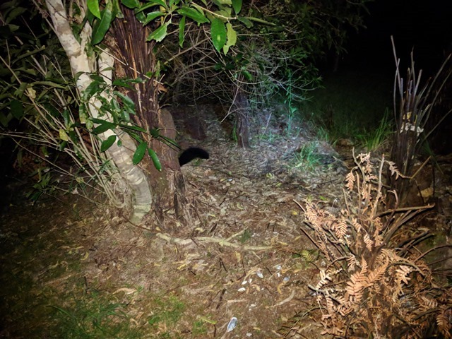


See the tail?


It was a brush-tailed possum! They are introduced here, and are considered a pest, killing many of the native birds.

Day 2 started early in the morning, when Jonathan realized there was a puddle INSIDE the tent by his feet. Upon further investigation, we discovered that at some point our under-tent tarp (footprint) that keeps us dry and moved out from under the tent on the uphill side. The rain that started in the night made a nice stream from that exposed section and funneled it under the tent directly under Jonathan’s sleeping pad. Fortunately, most things were in waterproof bags, so we just moved things out of the path and went back to sleep for a few hours. Unfortunately, that made us a bit slow in the morning, so we were rushing to get to the tidal flats that must be crossed only within 1-2 hours before and after low tide. Some of the people we passed said the water was already getting high and that we might not make it in time. But, when we got there, we discovered we had been concerned over nothing. The flats were still void of tide, it was only the streams that had any water in them. The rain continued most of the day, making it dreary to walk in it. But, it was another short day.


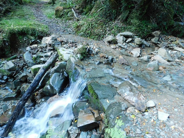
Crossing tidal flats on Day 2.


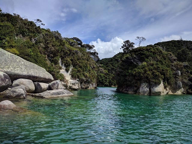
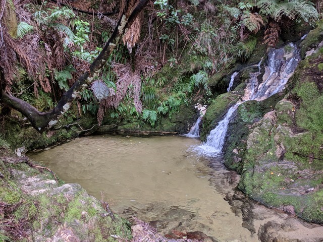
Onetahuti Pool at the campground on Day 2.


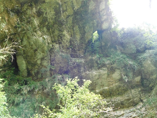
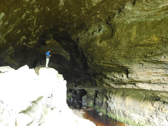
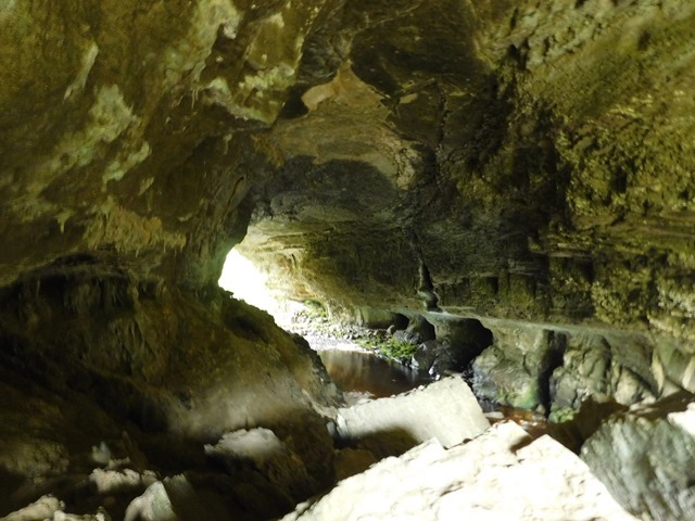
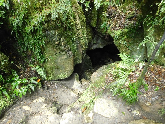
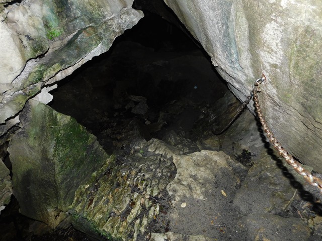
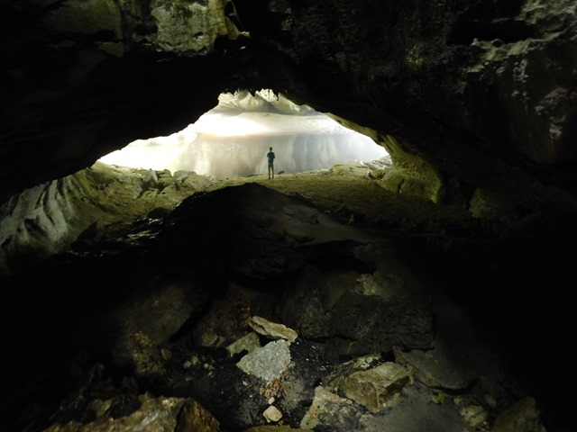
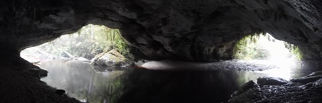
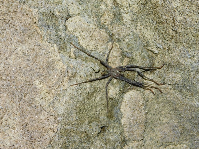
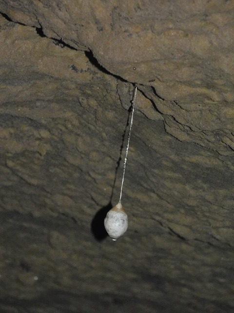
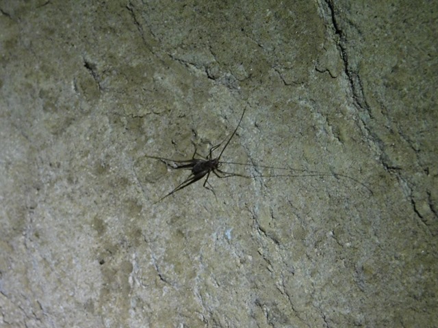
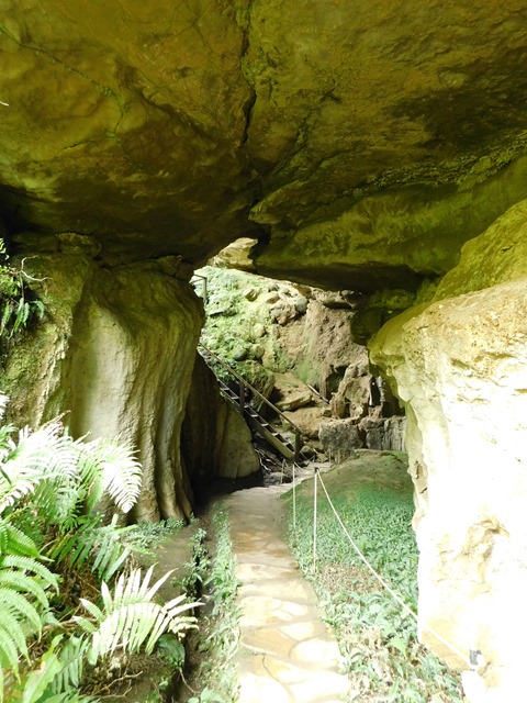
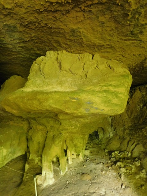
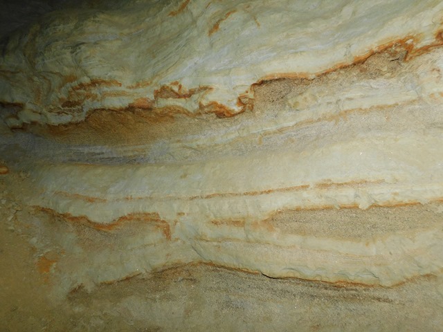
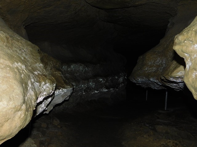
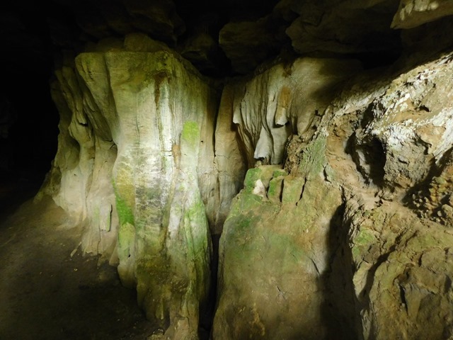
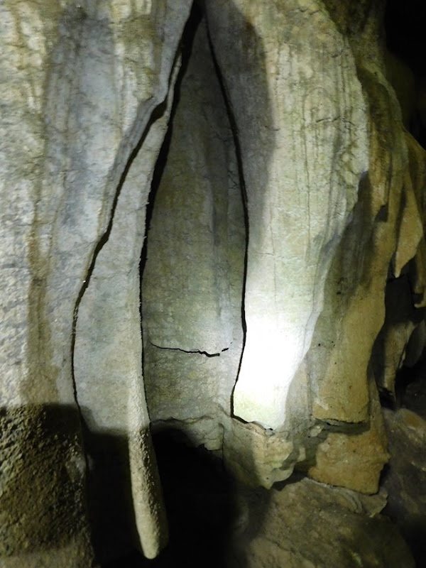
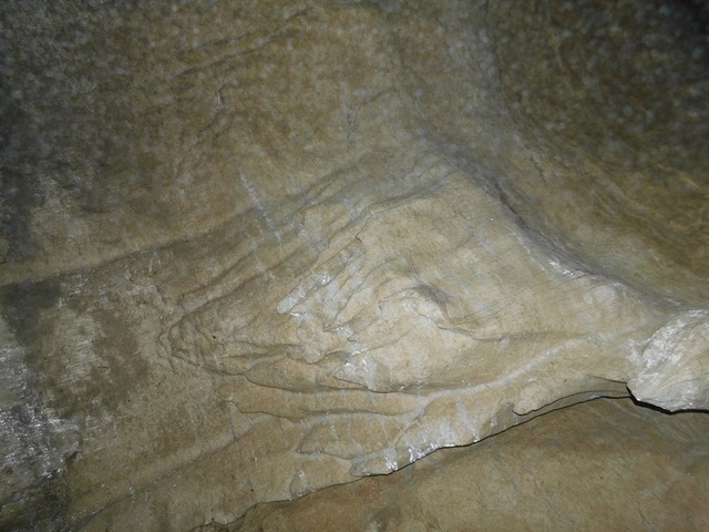
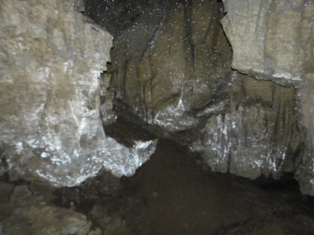
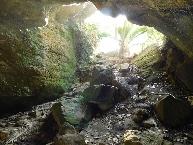
A cave at that campground as well. It also sported some glow worms that we could show off to our guests.


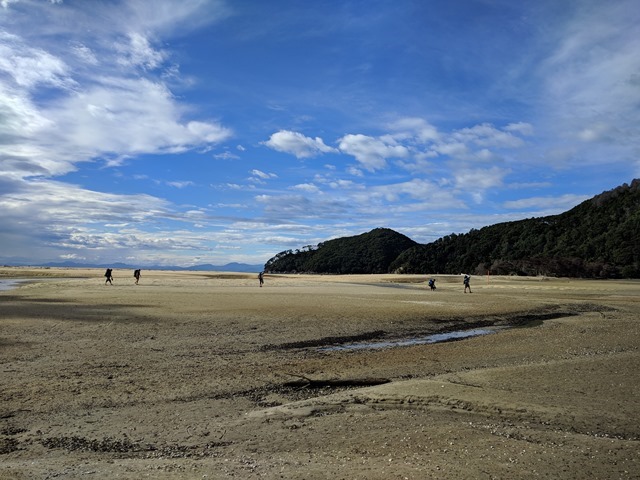
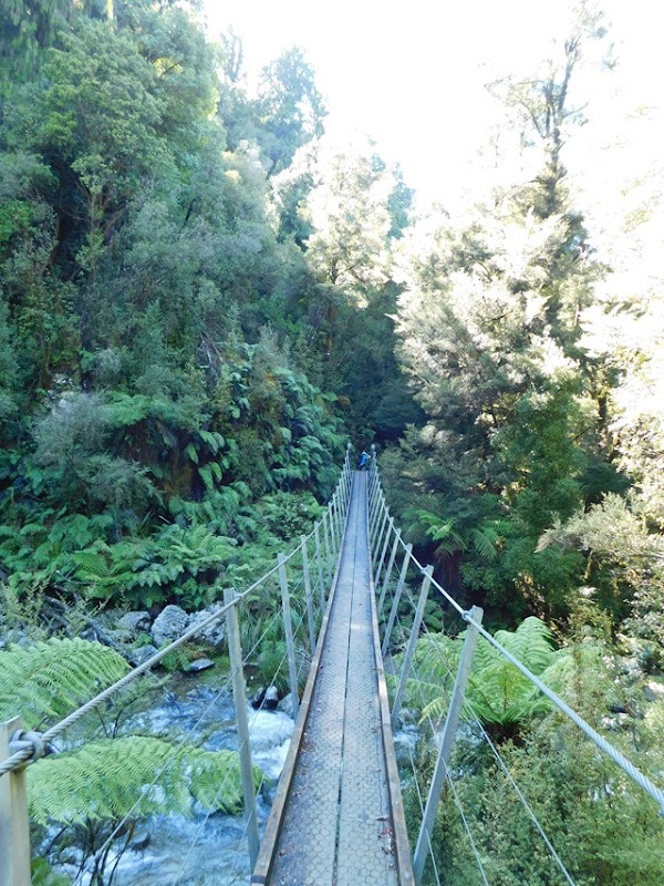
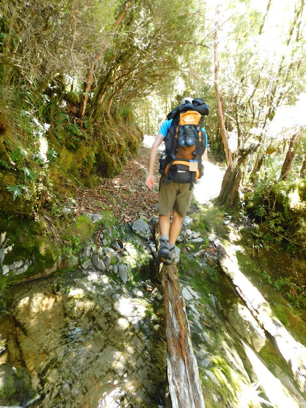
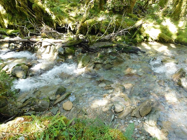
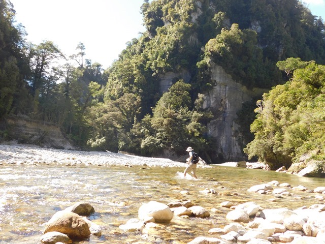
Crossing tidal flats/river on Day 3.


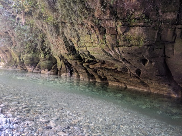
Day 3 was the longest day, reaching 20+ km. After doing a detour for Cleopatra’s pools, the track split (the first of 6 for the rest of the day). One part of the group wanted to take the shortest route (up and over a mountain), while the other wanted to take the easier route. Majority vote said to take the shorter route, but when I started up, my knee started acting up, so I told them I needed to go the other route. My buddy joined me, while Jonathan and the others continued up the shorter route. Separated from the others and believing our route to be the better choice, we were determined to beat them to the camp. It didn’t take long for us to realize that I had no water (Jonathan carries ours) and the other group had no map.


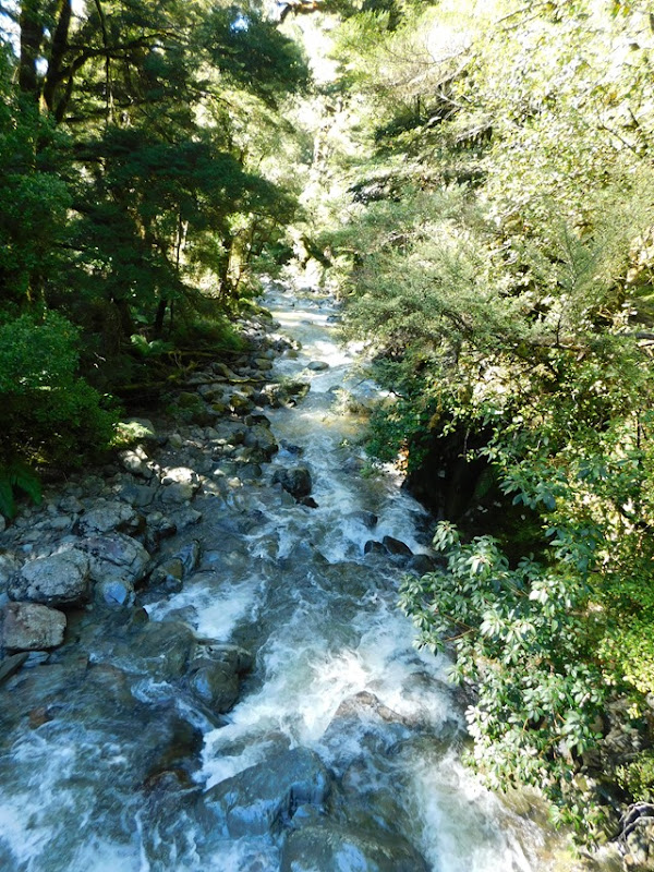
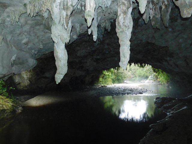
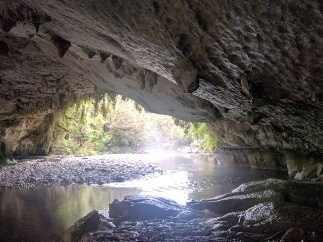
https://www.blogger.com/null
Cleopatra’s Pool.


https://www.blogger.com/null

Swiftly walking, we came to the intersection of our two paths. We took a moment to investigate whether we could see any fresh tracks, but didn’t see any and thought we had definitely beat them, so we barreled on. Interestingly, none of the signs mentioned our campground. On the last track division, we had to make a best guess, and following the map, guessed heading right (south). After a while, we began to wonder if we had made the wrong choice. Following the map, I thought we would come across it around the next bend, but we ran into an older couple walking from the other direction and thought we would ask them if they had seen the signs for it. Sure enough, they had and as we were finishing off our conversation with them, I heard Jonathan’s voice. Instinctively, I turned to Erika and said, “That’s them! Run!” and we took flight, leaving the couple wondering what in the world was going on. Energized, we ran like we hadn’t been walking 19 km already that day and giggled along the way. As we ran, I realized the ridiculousness of running, but we decided we really wanted to beat them down to the campsite and act like we had been there forever already! Sensing we had gotten far enough in front, we slowed to a walk and came to our turnoff. As continued on down, I heard Jonathan again so we quickened our pace again. At the bottom, we quickly chose a picnic table and switched to our swimsuits. Strangely, they hadn’t caught up to us yet, so we decided to go for a swim.


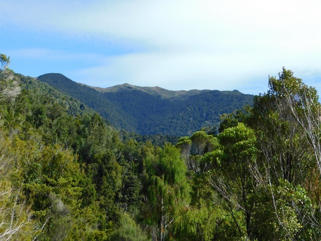
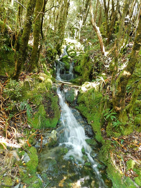
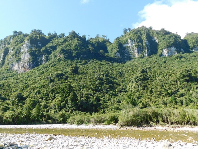
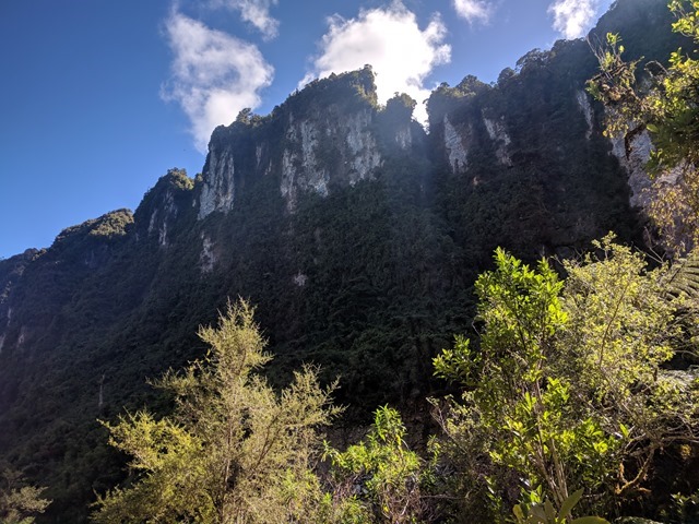
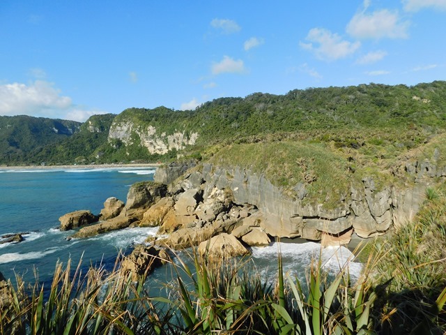
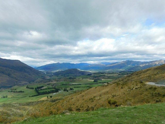
One of the views on our easier path.

We finished our swim and rinsed off, but still no one else had joined us. Very confusing! I thought perhaps they might be waiting at the turnoff for the campground, since twice that day we had mentioned waiting at junctions, even though we had been clear we would meet at the campground. For my peace of mind, I left my friend to watch the stuff (told her I would be back in 15 min, but ended up taking 30min) and ran up to the top of steep track to the turnoff. Upon reaching the top, I saw none of our crew there, so I set up some markers and wrote a note in the dirt. There was someone there taking a breather and heading towards the way we had come, so I was asking her that if she saw a group of 4 Americans to tell them we had gone on to the campground. As she was leaving, we heard some people up the track and it was them! Turns out they had turned left where we had turned right at the last junction and spent a while trying to find the campsite and I had mistaken someone else’s voice for Jonathan’s. After one guy had ran ahead and Jonathan had walked up a hill to get reception, they discovered where they had made the wrong turn and corrected themselves (annoyingly only 700 m away, but had to backtrack upon the track for several kilometers). Now we will never know whose route was better! We do know that they ended up walking 3 km more than we did, haha!


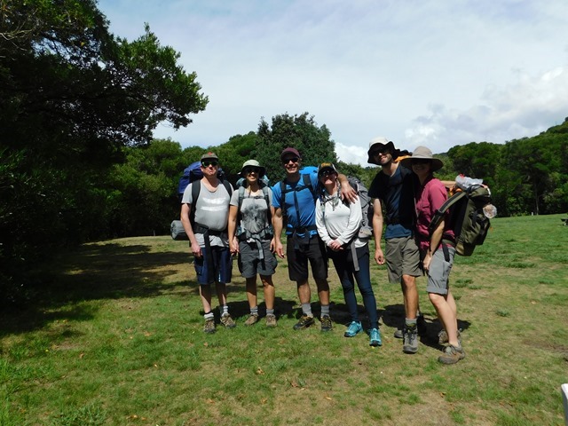
Everyone back safe and sound after a long day.


The rest of walk finished uneventfully and we enjoyed a cooked meal at the trailhead as well as tasty Indian food for dinner with some lovely hosts in Nelson. The company we had made the walk great, but we did learn that we don’t feel too bad about skipping most of the great walks. The walks are nice and comparatively easy, but aren’t any more scenic than what we have been able to experience on other walks in NZ.
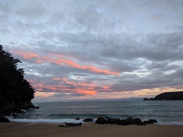
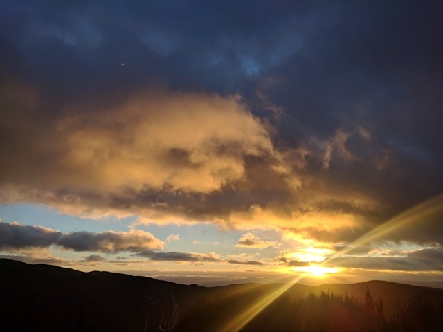


Sunrise on Day 4.


Parent and baby weka!
 

Midwestdrifter

Engineer In Residence
Down the West Coast, Part One

By Jen.

The next morning, we departed ways for a bit. Our friends had to do some hard driving all the way back across the island to Christchurch (6+ hours) to pick up a campervan (because of the mix-up they had only been issued an economy car for a week earlier) and planned to continue their travels to Mt Cook/Aoraki and then to Milford Sound. While we wanted to hang out with them, we did not want to do all that driving. So, we figured we would also head south via the West Coast, and see if we could catch up with them at Milford Sound, which we hadn’t visited yet. Before leaving, Jonathan repaired a few things in the van with parts our friends had brought us. We were happy to have a fully functioning vent fan again.


They also brought us a replacement colander so we could say goodbye to the one I had Jonathan piece back together for me.

Before heading to Nelson earlier in the week, we had tried to do Fox River Cave Walk, only to discover that access had been closed for 2 years already because of a landslide. We had considered still doing the walk until the closed section, but I wanted to wait until we could continue to the Ballroom Overhang. So, we made a beeline for the walk.


Like Oparara Basin, this area is also known for its limestone landscapes.


Upon seeing this, we realized why the Fox River Cave Walk was no longer open, even after 2 years. Not even sure the caves still exist!


Nikau Palms, native to NZ.


Nikau palm trunk.


A fantail.

After that we continued to wind our way down the coast. The coastal landscape reminded me a lot of Victoria’s or California’s. It is definitely worth a drive if you have the time.


Some of the road had washed away in the last storms to blow through.


A visit to Punakaiki Cavern.


And a visit to Pancake Rocks.


Midwestdrifter

Engineer In Residence
Down The West Coast, Part Two

By Jen.

While checking the map of my list of places to visit, I realized that we hadn’t been to Hokitika Gorge yet, so we set off for it. My coordinates to it seemed a bit off, and sure enough, when we arrived at the point, we were in a cattle farm on a road nicknamed “John Deere”. Upon another search for it, we discovered a more likely destination and set off for there with better success for it. Turns out it is a charming little gorge with mesmerizing water.


Continuing further south, we came across the twin glaciers again and thought we would make a go of it. First off was Franz Josef Glacier (pronounced as “glassyer” in NZ). This one we got to walk up the river valley, close to the terminal face.


Someone had hauled a chunk of ice quite a ways from the glacier.


A large, fallen rock wedged in front of a waterfall.


It is a fairly large glacier!


Unfortunately, Fox Glacier’s access road is still blocked by the landslide (aka slips here) that occurred during the first former cyclone. So, we didn’t really get any better view than what we saw last trip through here, which is sad as I think it is probably the more impressive glacier. I must say, it is a bit mind-bending to be looking at ice through a warm rainforest (although that day it was cold).


We made a stop at Ship Creek where there were 2 walks with interpretive panels. We learned that in 1867 a large piece of a ship’s hull washed up on these shores and rumors flew as to whose it was. Turns out it belonged to a ship that wrecked off the shores of Victoria, Australia, and washed across the Tasman sea to land there!


The beach stretches from here until Jackson bay (50 km), and sand continues reaches inland 10 km to the foot of the Southern Alps in the form of ancient dunes. This results in some of the nicest road sections in NZ!


The trees towering over all the others in this image are the tallest species in NZ, reaching up to 65m tall. Known as the kahikatea, they live up to 600 years old.


Sadly only 2% remain, as their fertile lowlands were cleared for farming and their wood for butter and cheese crates.


Midwestdrifter

Engineer In Residence
Southern Lakes District

One of the most remote sections of highway in NZ is the Haast road.  Connecting Haast on the west coast to Wanaka in the east, it wasn’t complete until the late 20th century.  The lowest of the passes through the southern alps, Haast pass has a lookout track, which we decided to have a go at.  Last time we passed through here, the rain and clouds blocked any views.


With the divide and west coast in our review mirror, we continued on into the southern lakes district.


The dry landscape stands in stark contrast to the rainforest west of the divide. Here the prevailing winds combine with towering peaks to wring the moisture for the great ocean winds.


In the center of the lakes district are a series of fertile valleys, many with extensive fruit and wine farming.  Cromwell has a giant fruit statue as a subtle clue.


Queenstown is the largest city in the immediate area, and it is a tourism hub.  We avoid it as often as possible, but due to geography, we have been forced to take the 30+-minute slog through the pedestrian-and-tour-bus-clogged city center in order to reach the more remote inner ranges to the northwest.

Just outside the city, the main highway follows a river gorge towards Cromwell.  On the east bank, a narrow, winding road provides some peace and good views.


The new bridge.


The historic suspension bridge (about 100 years old).  Notice the bungee jumping platform at the center.


You may notice this scenery from the Lord of the Rings, Fellowship of the Ring.  This is the Anduin river that the fellowship floats down just prior to Boromir's betrayal.  They added two large statues to the sides via CGI.


With daylight left to burn, we drove up the Crown Range Road.  Being the highest paved road in NZ, we hoped for a interesting drive.

Here we are at about 1076 meters.


Our parking spot for lunch was pretty good too.
 
It didn’t take long for us to realize that I had no water (Jonathan carries ours) and the other group had no map.
Gorgeous area!

Ouch! All that fresh water and no water purifier? :thinking: FWIW I've also found hand held radios to be worth their weight in gold quite a few times.

Thanks again for sharing your travels and NZ continues to be a place I'd love to thoroughly explore someday... Perhaps also with my T1N can!
 

Midwestdrifter

Engineer In Residence
Invercargil Again

Our friends were going to Invercargill for the day, so we opted to stop over and say hello. 

With the rain holding off we visited Demolition World.  The work of a family-owned demolition company, the owners had spent decades collecting interesting artifacts from buildings they removed.  In some cases moving entire buildings via truck.  Equal parts strange and historic, it was definitely an experience.


With some time to burn, we wandered through one of the parks/gardens, which are scattered about the city.


A tui having a bath.


The park map had a strange place called a “stumpery”.  Of course we had to investigate.


Surprisingly, it is exactly what it sounds like.  The stumps of dead or removed trees are deposited here.  Often in creative ways. It was invented in England as a way to improve storm-damaged areas.


Who wouldn’t want a giant stump bench?


With the roar of a gale-force wind, the day ended with a standard southern sunset.
 

Midwestdrifter

Engineer In Residence
Borland Saddle and Dunedin

By Jen.

After hearing our tales and showing them pictures about how awesome Mt Burns and Borland Saddle are, our friends decided to go there next. We loved the area and figured we would join them. First off, we did the nature walk at the entrance.


They had fun mushrooms!


Then, we attempted a drive down the Borland road again, hoping the tree had been cleared.


We came across a washed-out ford. It was no problem for us, but as I was watching the other van through the mirrors, I saw it suddenly tilt forward. I told Jonathan that they might have an issue… So we got out and went to see. By then, they had reversed out of it and were debating if they could make it across. We decided to relocate some rocks to make it easier.  And, it worked! Onward we went.


It wasn’t long until we came to another washed-out ford (apparently they last former cyclone did quite a bit of damage to the roads here) and a few guys in a station wagon was working on making it passable for their car. We decided it might be a bit much for the other campervan and decided to turn around.


That night it got cold (32F)! We woke up to frost on the van, the first in about 5 months, probably 2nd time in about 1.5 years.


While our friends got up first thing to do the Mt Burns Tops Route, we took a little longer to get ready and decided to try the Green Lake track, as we had heard good things about it. The sun was barely up in the sky, but definitely not over the mountains when we started.


Frosted ferns.


It wasn’t long before we descended from the forest to the tussocks in the valley.


Jonathan found and introduced me to frost whiskers! I had never heard of them before, much less seen them. Super cool how ice curls up out of the wet ground.


It didn’t take long for our shoes to get covered in frost and cold feet.


Can you see me in there? Grass up to my shoulders!

Walking through the tussocks was hard! The ground was moist, often with sitting water. The path was ill-defined. And the grass went up to my shoulders. Very quickly my feet were soaked and cold. At one point Jonathan completely disappeared from view as he stepped into a 3-ft-deep hole filled with water. So, we both had soaked feet. We tried to trudge on, but when I realized we weren’t as far as I thought we were and still had 3 of these tussock-filled valleys to go, I called it quits and we went back. I couldn’t stand the cold any more.


We went back to the warmth of the van and decided to await the return of our friends from their hike. We sent them on to Dunedin, while we finished cleaning the van. We planned to meet them the next day there, as it was St Patrick’s Day, and we had no desire to be in an university town that night. Shortly after we pulled onto the highway, the driver-side windshield wiper flipped off and was dangling between the A-pillar and the side-view mirror! Guess it had a fracture and finally gave way. Jonathan pulled over and swapped the wiper arms, and we ordered a new one that night.


When we reached Dunedin the next morning, I realized I hadn’t seen my hiking shoes for a while. After some search and discussion, we decided that when I had removed the rug to shake it out at the top of Borland Saddle, I had probably set the shoes on the ground and never retrieved them. So, we spent the day shoe shopping.


The architecture here is a lot of fun.


We had a package that we couldn’t pick up until Monday, so we said goodbye to our friends, who were heading north, getting ready to head back to the states. After getting our package, we decided to visit Mount Cargill. I have found an interesting phenomenon here. You can sometimes see sunrise colors late into the morning or early in the afternoon. I am guessing it has something to do with the latitude and the clouds upon clouds. I find it fascinating.


This was taken near 11 am.

We then went to Invercargill to stock up on our next adventure and pick up some shoes.
 

Midwestdrifter

Engineer In Residence
Gorgeous area!

Ouch! All that fresh water and no water purifier? :thinking: FWIW I've also found hand held radios to be worth their weight in gold quite a few times.

Thanks again for sharing your travels and NZ continues to be a place I'd love to thoroughly explore someday... Perhaps also with my T1N can!
We forgot to charge our radios before, go figure! I am sure someone in each group had a filter. We only carry one of most gear to keep our weight down.

Tourism numbers are going up each year. The sooner the better off if you are going to visit. It is a good country to RV in. Basically the best way to go.
 

Top Bottom